
Aerial Mapping Services (faster turnaround times, lower cost and more detailed modeling of site topography)
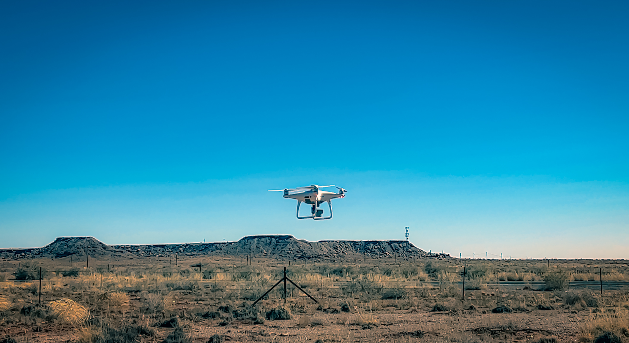
Arizona Surveying offers comprehensive aerial mapping services for project work based in Arizona, Utah, Colorado, Nevada, California, New Mexico and locally in Flagstaff or surrounding counties such as Coconino, Yavapai, Mojave and Navajo. We utilize aerial drone UAS/UAV technology which is perfectly suited for mapping and volumetric applications in support of civil engineering design, land planning, GIS base mapping and data acquisition, mining and pit operations and any other discipline requiring survey-grade mapping results at a fraction of the cost of conventional surveying.
Our state of the art Aerotas Mapping System (TM) means clients can count on superior accuracy at a fraction of the cost and turnaround time of conventional photogrammetry. Topographic surveys that formerly took days of field time now take hours. And along with standard mapping linework, we can also deliver digital orthophotos, 3D Point Clouds and oblique site photography and video.
Our system incorporates the most reliable technology and our training ensures the survey team operates safely and efficiently. Our mapping drone is FAA compliant and our operator is FAA certified to fly in a site’s overhead airspace. Aerial data collection and mapping is safer, especially for mining and pit operations. Remote operation of the aerial survey drone means no personnel on steep slopes or near heavy equipment.
Aerial Drone Applications
Civil Engineering Design Mapping
Civil Engineering design requires accurate and precise topographic mapping data to ensure that design parameters reflect real-world conditions. The low altitude requirement of the Aerotas drone means denser surface sampling which often results in higher accuracy than conventional ground surveys. Drone mapping can also be supplemented with conventional survey measurements on critical hard surfaces and drainage structure invert elevations when needed. Turnaround times are faster and we can provide digital orthophotos, video and images to support planning, design and future project monitoring.
Land Planning requires mapping information that can be relied upon that doesn’t break the budget. With our affordable aerial drone mapping solutions, you don’t have to take chances with outdated or questionable mapping/data sources. In many cases, we can provide design-quality surface data that fits your planning budget.
Mining and Pit Operations
In mining or pit operations, worker safety is a primary concern. When surveyors can collect accurate mapping and volumetric data from above with an aerial drone, it can dramatically reduce risk/liability by reducing or eliminating the time surveyors need to spend on the ground.
Drone-based data collection boosts productivity. Thanks to a drone’s ability to collect data from above, there is no downtime required while surveyors move around a pit. And fewer man-hours are required to produce large, accurate data sets resulting in lower costs.
GIS Base Mapping and Data Acquisition (data collection made simple)
No matter which GIS specialty you work in–forestry, asset management, environmental, agriculture, remote sensing, oil and gas or other–aerial drone mapping can provide accurate data quickly and cost-effectively.
With an easy-to-deploy aerial mapping drone, we can capture accurate aerial imagery and transform it into 2D orthomosaics (maps) and 3D models of small- and medium-sized sites. Using an aerial drone means we can take to the skies virtually whenever we need. With low operating heights, cloud cover is rarely an issue.
Site Inspection / Construction Monitoring / As-Built Mapping
Remote site inspection, construction monitoring and as-built mapping are now made fast, easy and efficient using aerial drone mapping and photography. Monitor construction progress with periodic mapping from start to finish of a project. Verify grading cut/fill quantities as site work progresses. Provide stakeholders with reports containing dated mapping, video and photography. Map final site improvements and provide agencies with as-built information.
Arizona Surveying is proud to offer land survey drone, construction, mining operations, terrain mapping, volumes, quantities, survey-grade photogrammetric mapping, volumetrics, topography, UAV, UAS, unmanned aerial vehicle, unmanned aerial survey, unmanned aerial drone, 3D point cloud, GIS base mapping, aerial drone surveying, aerial drone mapping, georeferenced camera, photography and video, aerial drone GIS, GIS data collection, land surveying drone, geo-referenced property inspection, aerial surveying, GPS services in Flagstaff, Prescott, Sedona, Phoenix, Tempe, Glendale, Scottsdale, Casa Grande, Yuma, Tucson, Kingman, Laughlin, Grand Canyon, Navajo Reservation, Hopi Reservation, Hualapai Reservation, Coconino County, Yavapai County, Maricopa County, Pima County, Arizona, Utah, Colorado, New Mexico, Nevada and California.