An orthophoto or orthoimage is basically an aerial photograph that has been geometrically corrected to allow a viewer to measure ground distances using an Engineer’s Scale. The image has been “flattened” so to speak to remove distortion and achieve a uniform scale. Anything that can be seen on an orthophoto such as buildings can be measured between.
Orthophotographs are commonly used in Geographic Information Systems (GIS) as base maps or background images on which other layers of data are overlaid. An orthophoto is also useful for land planning, resource management and environmental monitoring work when detailed and expensive topographic mapping is not necessary.
What is the difference between an aerial photograph and a digital orthophoto?
- A conventional perspective aerial photograph contains image displacements caused by the tilting of the camera and terrain relief (topography). It does not have a uniform scale. You cannot measure distances on an aerial photograph like you can on a map. It is not a map.
- An orthophoto is a uniform-scale photograph. It is a photographic map.
- Since an orthophoto has a uniform scale, it is possible to measure directly on it like other maps.
- An orthophoto may serve as a base map onto which other map information can be overlaid.
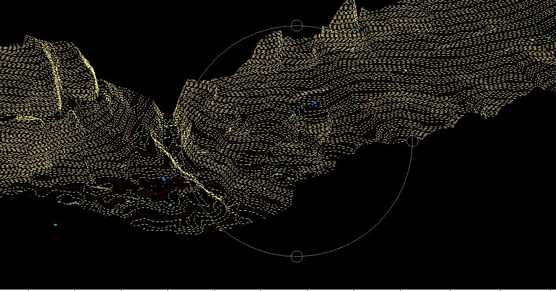
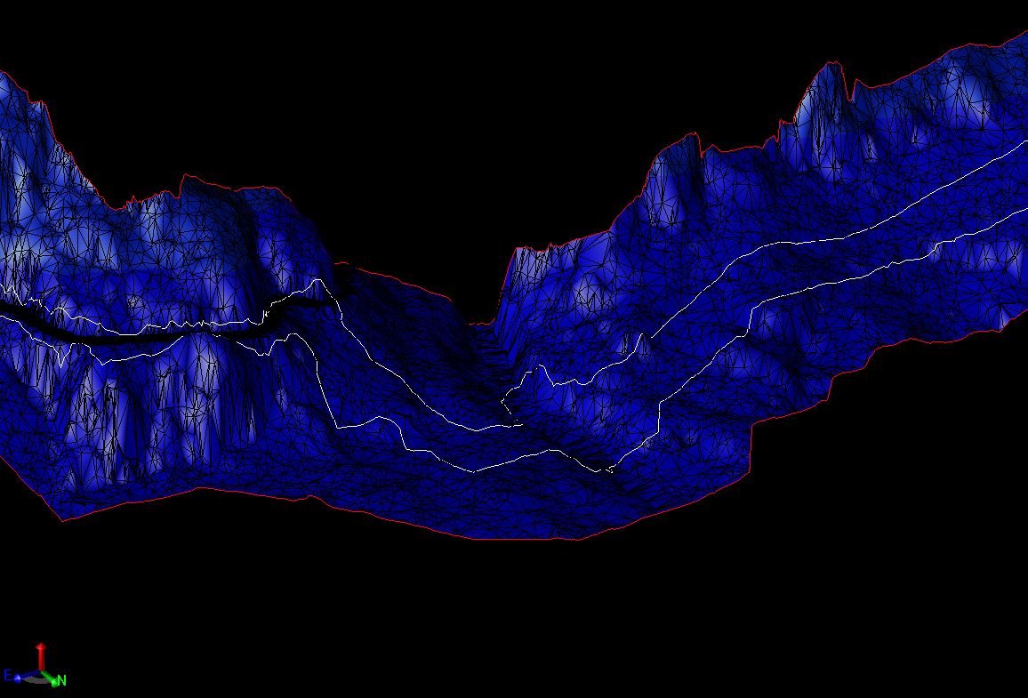
For small to medium sized parcels or areas, Arizona Surveying can produce orthophotography using our own DJI Phantom 4 Pro unmanned aerial drone along with the Aerotas Mapping System. The combination of our drone and the Aerotas photo rectification technology allows us to produce high-quality digital orthoimagery at the lowest price possible.
For large parcels or areas that must be flown and photographed at higher altitudes, Arizona Surveying will make all arrangements and work in tandem with a trusted and licensed photogrammetrist to acquire the orthoimagery you need. We deliver the final orthophoto product and you need only work with us reducing the time and expense of dealing with outside orthophotography contractors.
Arizona Surveying provides orthophotography, digital orthophotos, GIS basemap, photogrammetry, orthoimagery, resource management, inventories, environmental monitoring, remote sensing in Flagstaff, Prescott, Sedona, Phoenix, Tempe, Glendale, Scottsdale, Casa Grande, Yuma, Tucson, Kingman, Laughlin, Grand Canyon, Navajo Reservation, Hopi Reservation, Hualapai Reservation, Coconino County, Yavapai County, Maricopa County, Pima County, Arizona, Utah, Colorado, New Mexico, Nevada and California.