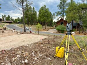
Construction Staking
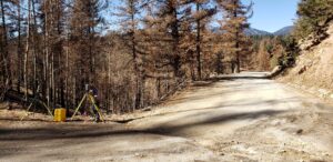
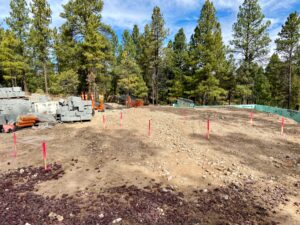
Whether you’re a project owner, contractor or person-in-charge, Arizona Surveying understands the importance of your construction project. That’s why we apply quality control at every step of the layout process. We have an investment too–our reputation.
Boundary Surveying
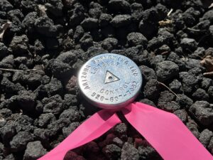
A boundary survey transfers property lines from a map or grant deed to the actual ground where you can see them. These are called “title lines” or what you really own. You need to know and see these lines to help determine where to build and/or see adjoining encroachments.
Topographic Mapping
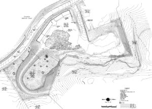
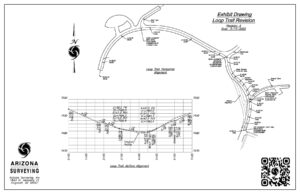
Thorough and accurate topographic mapping saves money from design phase all the way through construction phase of a land development project. Arizona Surveying has mapping experts trained to identify areas of concern that require detailed mapping like complex drainage areas.
Lidar Laser Scanning
We have the latest 3D Laser Scanning technology (LiDAR) and can produce 3D CAD models of complex terrain and man-made features. Mining operations, topography, buildings, utilities, roadways, bridges can all be mapped with remarkable accuracy and speed.
Land Development
We know that every project is different and that having decades of local experience makes all the difference. You need an industry leader who understands how local agencies work—somebody who knows what’s possible and what isn’t. We have that experience, over 50 years…
Civil Engineering
Good Civil Engineering and design makes a positive difference through every phase of a construction project saving both time and money. We have decades of experience with all types of Civil Engineering design and will guide you through every step of the process making sure everything is on time and at budget.
Aerial Mapping Services
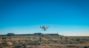
Arizona Surveying offers Aerial Mapping Services such as topographic mapping, orthophotography, Digital Surface Modeling, photogrammetry and aerial photography. We are equipped with an unmanned aerial drone and Aerotas mapping software. Safe. Simple. Cost Efficient.
