
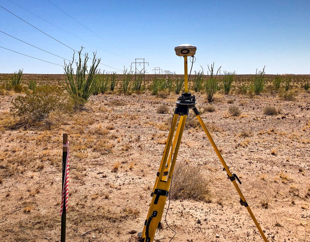
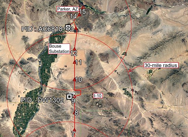
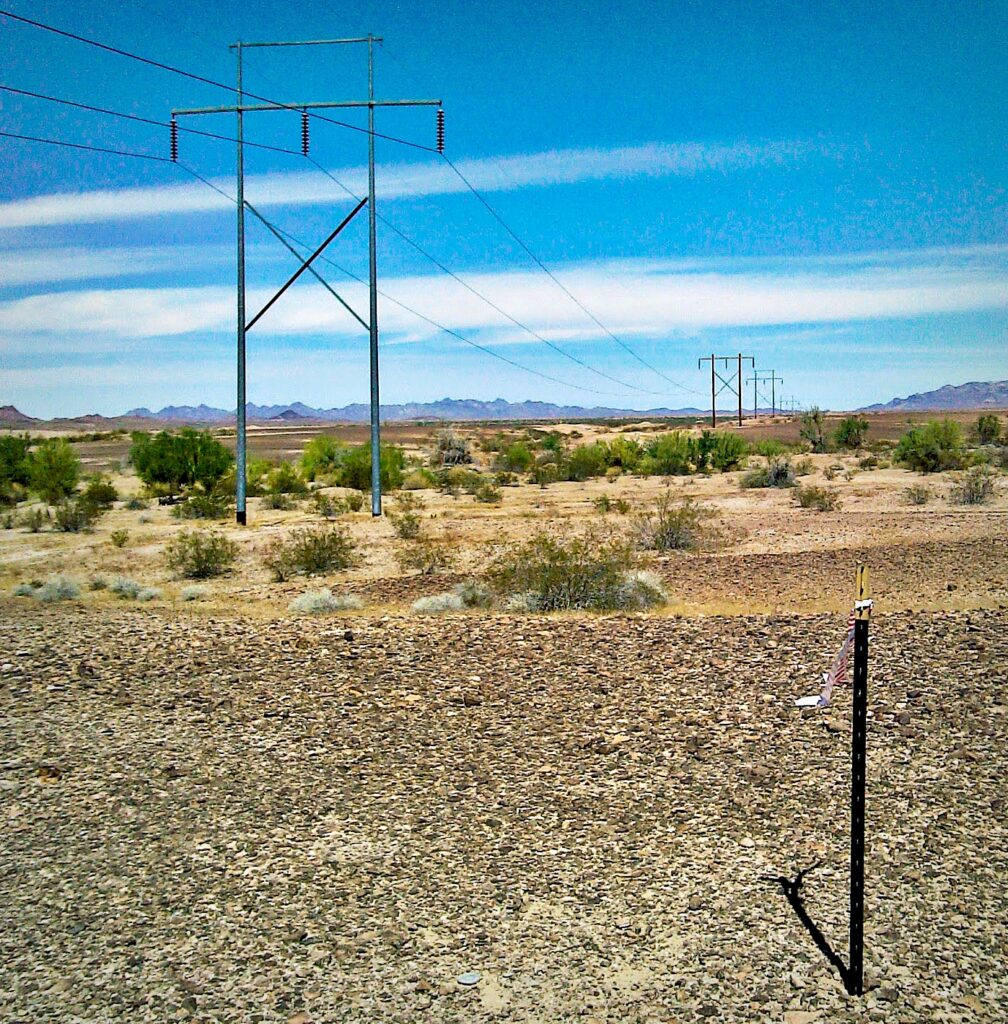
We’re based in Flagstaff but like our name implies, we serve the entire state of Arizona. For this project we provided survey control to support LiDAR mapping of a 100+ mile section of a 161 KV transmission line between Parker, AZ and Yuma, AZ. Most of the powerline access traversed rugged desert terrain.
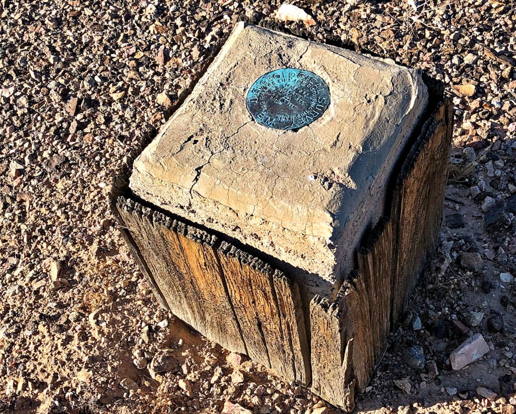
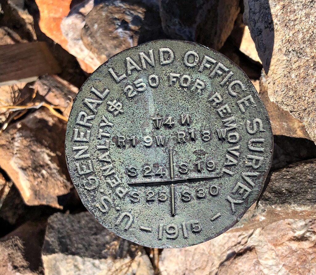
Arizona Surveying recovered three existing NGS control points to use as a foundation for the survey. Found and set control points were occupied with GPS base receivers and post-processed using the NGS’s Online Positioning User Service (OPUS) for positional verification or establishment as applicable. The result was a non-accumulative accuracy of within 0.11’ in a mile (1:50,000). This was greater than the effective relative accuracy of the LiDAR mapping. Job well done!