
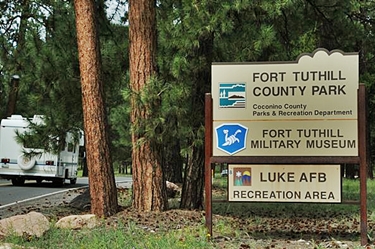
Fort Tuthill is Coconino County’s 413 acre regional park and is the gem of the County Parks and Recreation Department. Fort Tuthill hosts a wide array of events throughout the year including the annual Coconino County Fair. The County Fair events are held in historic buildings that once served as mess halls for military regiments based at the Fort. Coconino County is currently working with a design team to renovate the historic fairgrounds and buildings to bring them up to more modern standards. Arizona Surveying was contracted to perform the pre-development survey of the of the fairgrounds site for use by the design team. The survey tasks included coordinating with an aerial mapping firm to map an 82 acre area designated by the design team, establish aerial control points to control the aerial mapping, locate utilities, locate the footprint of existing permanent structures within the mapping limits and provide finish floor elevations, and provide CAD files for the project to the design team.
Best view i have ever seen !