
This project was an excellent example of Arizona Surveying’s ability to think outside the box and provide the client with a mapping solution that saved time and reduced cost.
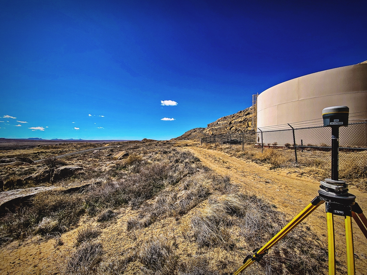
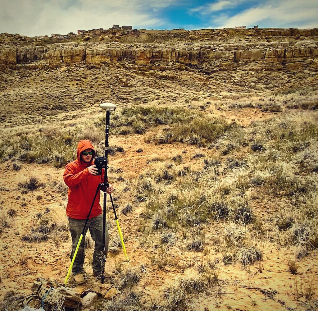
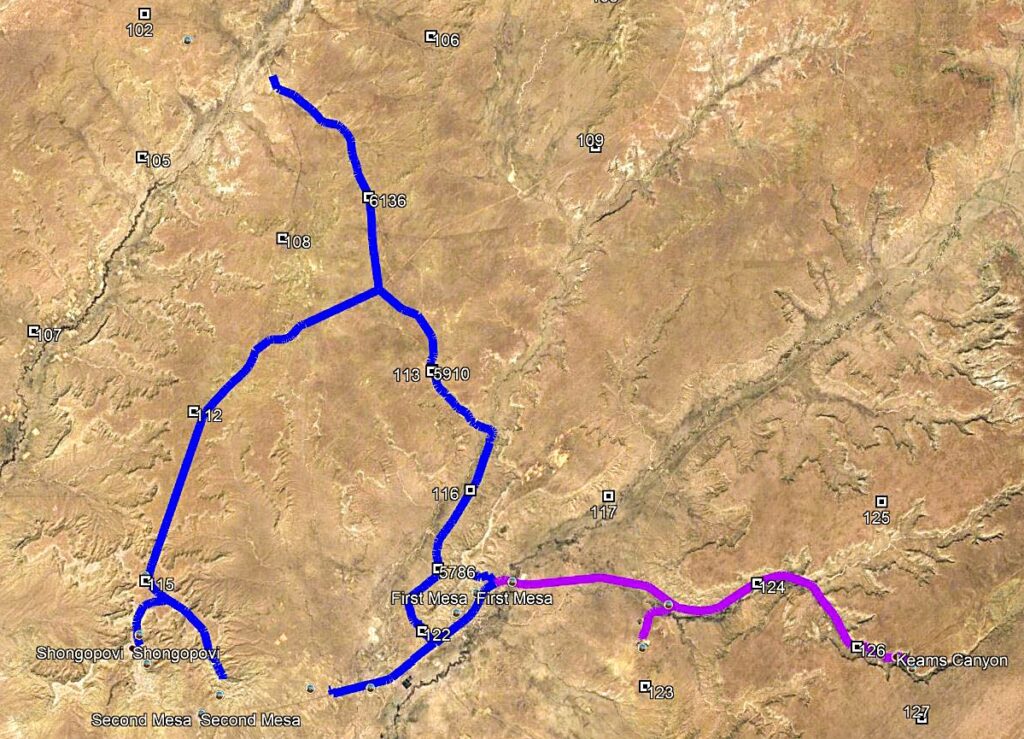
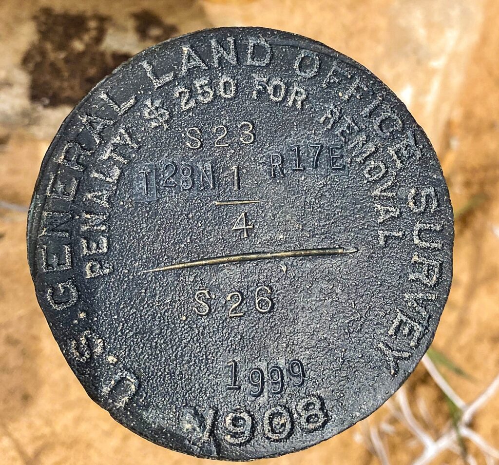
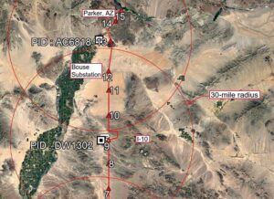
One of the project’s tasks was to establish right of way location for the approximately 12-mile-long portion of the Hopi Arsenic Mitigation Project (HAMP) regional water system that runs along SR264 on the Hopi Reservation. Establishing the ROW required analyzing a combination of existing survey monument locations and the actual physical location of the roadway as defined by edge of pavement. Arizona Surveying knew that a topographic survey utilizing aerial LiDAR mapping would also be performed for waterline design by another firm along the 12-mile-long section. So rather than duplicate edge of pavement locations, Arizona Surveying simply requested CAD linework delineating edge of pavement from the aforementioned aerial LiDAR mapping to supplement its own survey data.
Using edge of pavement data from another survey undoubtedly avoided a mapping redundancy which allowed Arizona Surveying to reduce it’s project scope and fee saving the client tens of thousands of dollars.

I am working at the Shungopavi Community Center and we are getting a lot if question about your project. Like if the village is going to hook them up the lines and when that will take in order to get hooked up. One person called asking why nobody told them where the lines were going through because it was going right by her trailer and she doesn’t want her tree taken out. Please give me some information on how people can get a hold of someone to have their questions asked. I didn’t sell a phone number
Thank you
ELene Atokuku