
Tortilla Flat in far eastern Maricopa County, Arizona. It is the last surviving stagecoach stop along the Apache Trail. Tortilla Flat is presumed to be Arizona’s smallest official “community” having a U.S. Post Office and voting precinct. The town has a population of 6.
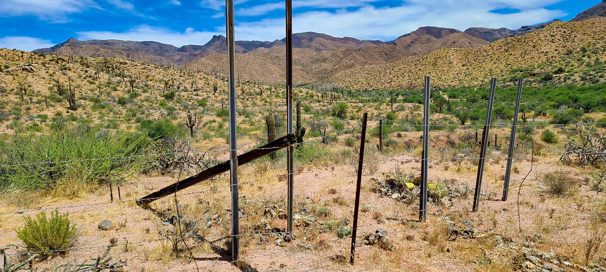
The pre-modern history of what is now Tortilla Flat indicates that the valley had a creek running through it. It was used by the Yavapai to traverse through the Superstition Mountains. That trail became known as the “Yavapai Trail” or “Tonto Trail”.
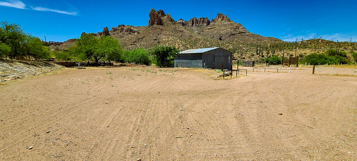
The Spanish 16th-century expeditions looking for gold, inspired more modern gold prospecting in the Superstitions, including those by Don Miguel Peralta from Mexico, who, in 1847 and 1848, supposedly amassed large quantities of gold from the area. Tortilla Flat got its start because of the road construction to Roosevelt Dam in 1904, just 10 miles north of the property where the topography survey took place . There was a need for a stagecoach stop for freight haulers on their way to the construction site at Roosevelt Dam and Tortilla Flat served that purpose. Shortly following the construction of the road, Roosevelt Dam became a big tourist attraction. At that point Tortilla Flat was a stage stop for tourists and mail carriers through the 1930s.
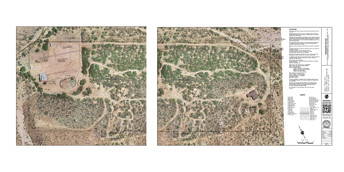
Arizona Surveying’s team mapped the 20 acres with an aerial drone. Bretton Luckow, our drone operator, helped create the plan and also determined the best digital photography specs for delivering high-resolution imagery needed for the survey. At our Flagstaff office, the data files consisting of still images and point cloud data were downloaded, processed, checked for spec compliance. After all data was compiled a detailed drawing of the area was created with the imagery overlaid on to the topographic survey.