Skip to content
CONTACT US TODAY »
ARIZONA LAND SURVEYOR
  • Services
    • Aerial Mapping Services
    • Boundary Survey
    • Topographic Mapping
    • Construction Staking
    • Land Development
    • Laser Scanning
    • Civil Engineering
  • Aerial Mapping Services
    • Aerial Topographic Mapping
    • Orthophotography
    • Surface Modeling
  • Our People & Story
  • Portfolio
  • Blog
  • Contact
  • Employment
Menu Close
  • Services
    • Aerial Mapping Services
    • Boundary Survey
    • Topographic Mapping
    • Construction Staking
    • Land Development
    • Laser Scanning
    • Civil Engineering
  • Aerial Mapping Services
    • Aerial Topographic Mapping
    • Orthophotography
    • Surface Modeling
  • Our People & Story
  • Portfolio
  • Blog
  • Contact
  • Employment

Arizona Surveying Blog

  1. Home>
  2. Arizona Surveying Blog>
  3. Page 2
Mt. Elden Lookout Road
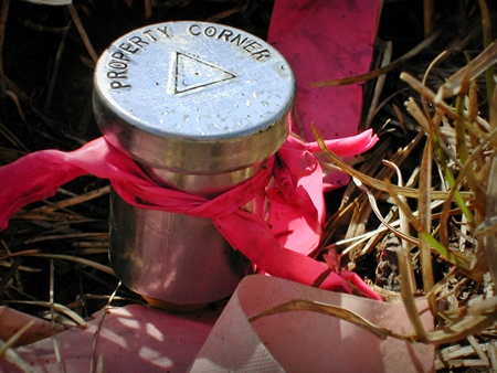
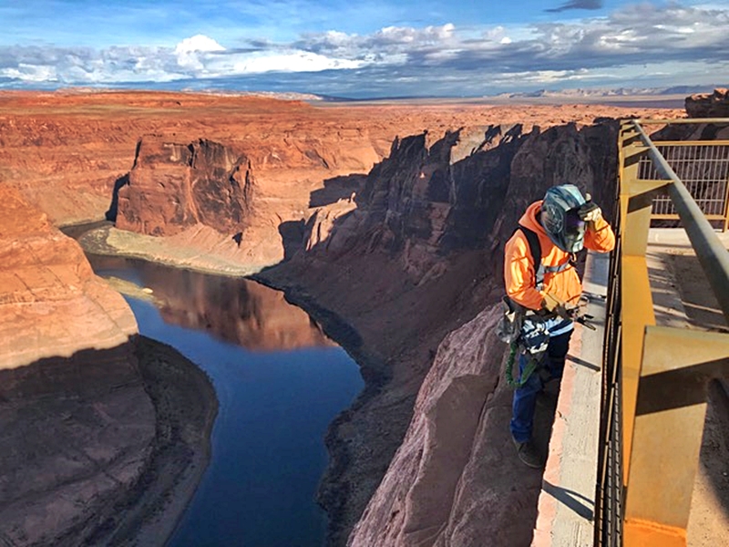
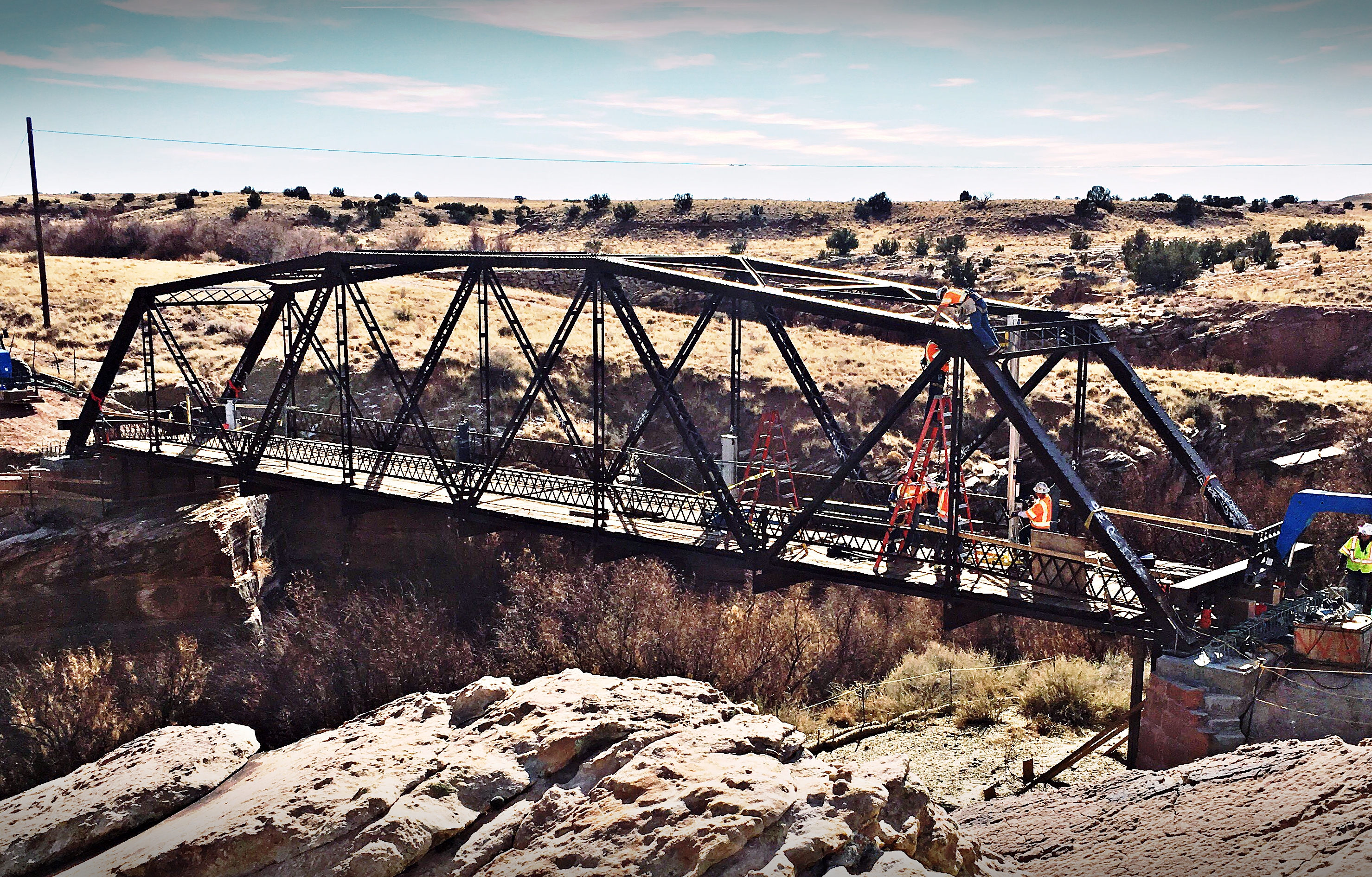
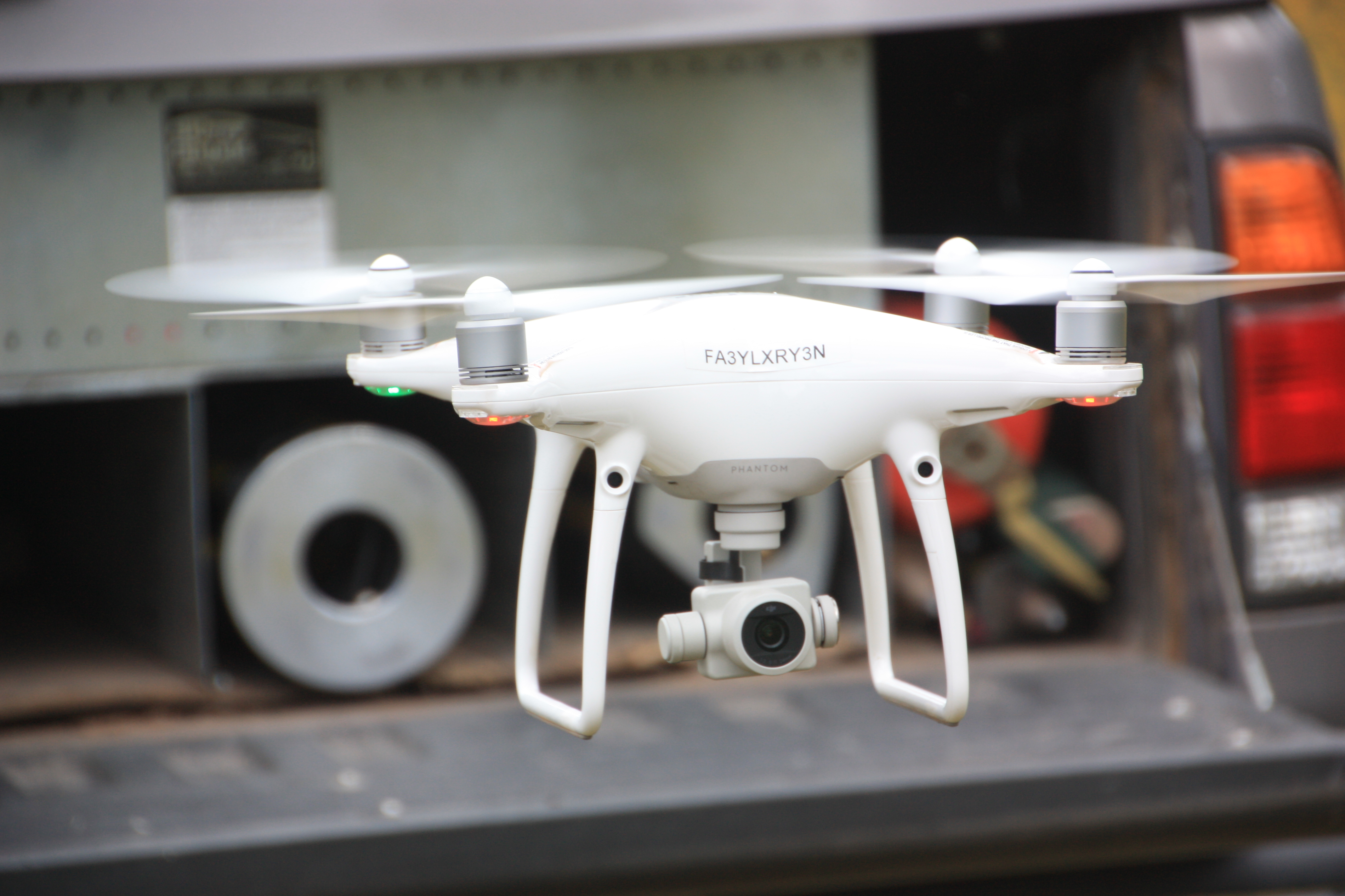
Civil Engineering / Construction Staking / John Luckow / Lidar Laser Scanning / Survey Projects / Topographic Mapping

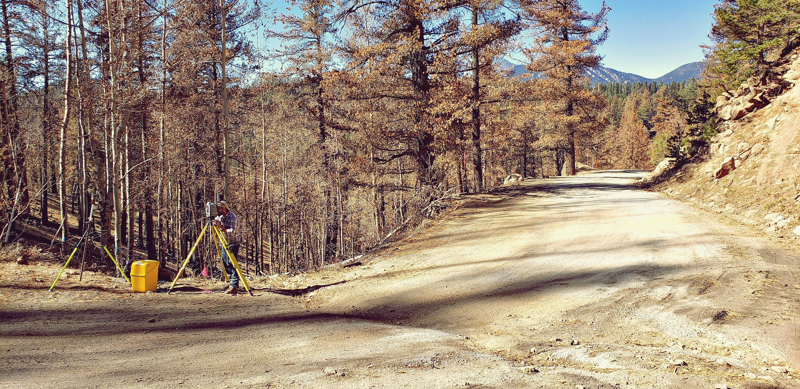
Museum Fire BAER Road Protection Mapping

2019's Museum Fire burned 1961 acres of timber on the steep slopes of Flagstaff's Mt. Elden. Due to anticipated risk to the Forest and public (including the potential for severe…

0 Comments
August 9, 2020
Property corner marker
Uncategorized

Surveyors: Loyalties and Points in Between

Introduction I faked the need for a bathroom break just to walk through the casino with my chaining gear and orange surveyor's vest on. The party chief and I were…

1 Comment
August 31, 2019
Land Surveyor, Part of the Real Estate Team
Boundary Survey / Professional / Uncategorized

Surveyors–Part of the Real Estate Team

Creating Advantages—Curb Appeal With any business, the key to success is being able to create advantages for yourself and the product you sell. Selling real estate is no different. Every…

1 Comment
August 31, 2019
Pyramid--Cairo
Pyramid--Cairo
Boundary Survey / Professional

Land Surveyors: Our Place in History

Few people outside of associated professions actually know what land surveyors do. We are rarely seen, but our work makes an impact in every moment of daily life. What other…

5 Comments
October 3, 2018
UAV Drone Aerial Photography, Construction Engineering
Aerial Data Collection / Aerial Photography / Ortho Photography / UAV / Drone

UAV / Drone Aerial Photography Data Collection Video

0 Comments
August 3, 2018
UAV Drone Aerial Photography, Construction Engineering
Aerial Data Collection / Aerial Photography / Bretton Luckow / Civil Engineering / Ortho Photography / Utah

Aerial Data Collection–Facebook Data Center

The town wanted to know: How would construction of a 1 million s.f. Facebook data center impact local roads and infrastructure over the 8-10 year duration of the upcoming project?…

1 Comment
July 31, 2018
Horseshoe Bend Safety Rail, Guardrail, Land Surveying
Horseshoe Bend Safety Rail, Land Surveying
Construction Staking / Survey Projects

Horseshoe Bend Safety Rail Survey

Located near the town of Page, Arizona and five miles downstream from Glen Canyon Dam and Lake Powell, the Colorado River's Horseshoe Bend is one of the most iconic and…

0 Comments
July 31, 2018
Woodruff-Snowflake Bridge
Construction Staking / Survey Projects

Historic Woodruff-Snowflake Bridge Renovation

Constructed in 1917, the Woodruff-Snowflake Bridge connects two cliff faces above the Little Colorado River. Originally placed in Winslow, it was relocated in 1939 when a wider bridge with greater…

1 Comment
March 22, 2018
Drone Data Capture
Drone Data Capture
Aerial Drone Mapping / Construction Staking

UAVs/Drones—The Swiss Army Knives of Data Capture

UAVs, aka "drones" are like the Swiss Army knives of data capture. Along with capturing data for standard mapping deliverables such as ortho-photography, topographic maps, surface models and 3D data…

0 Comments
October 25, 2017
  • Go to the previous page
  • 1
  • 2
  • 3
  • 4
  • Go to the next page

Recent Posts

  • Grand Canyon Ribbon Falls Bridge Replacement
  • Pipeline on the Precipice – Grand Canyon in Depth Episode 06
  • Moving Water in the Grand Canyon
  • Grand Canyon Rest House Topographic Surveys
  • COVID-19 Special Notice

Recent Comments

  • Beth Witt on Historic Woodruff-Snowflake Bridge Renovation
  • Daniel Reaney on Land Surveyors: Our Place in History
  • Taylor Hicken on Aerial Drones and Land Surveying
  • Adam Golightly on Aerial Drones and Land Surveying
  • Elene Atokuku on BIA Keams Canyon HAMP Project, Hopi Reservation

Categories

  • Aerial Data Collection
  • Aerial Drone Mapping
  • Aerial Photography
  • Boundary Survey
  • Bretton Luckow
  • Bryan Martin
  • Civil Engineering
  • Construction Staking
  • Control Survey
  • GPS
  • Grand Canyon
  • Hopi Reservation
  • John Luckow
  • John Scott
  • Levi Nash
  • Lidar Laser Scanning
  • NAU
  • Ortho Photography
  • Our People
  • Professional
  • Survey Projects
  • Topographic Mapping
  • UAV / Drone
  • Uncategorized
  • Utah

Archives

  • September 2022
  • August 2021
  • July 2021
  • March 2021
  • August 2020
  • August 2019
  • October 2018
  • August 2018
  • July 2018
  • March 2018
  • October 2017
  • September 2017
  • August 2017
  • July 2017
  • September 2014

Affiliations

Testimonials

“I’ve worked with John and Arizona Surveying for years. What impresses me the most is their passion for the work. They really enjoy what they do and it shows in every phase of my projects. They’re always one step ahead of things which makes me feel like surveying is one less thing to worry about. “

Roger J.

Pages

  • Home
  • Services
  • Aerial Mapping Services
  • Our People & Story
  • Portfolio
  • Blog
  • Contact
  • Employment

Follow Us

Arizona Surveying
© Copyright 2022 Arizona Surveying

Powered by DJE Design

Search this website