
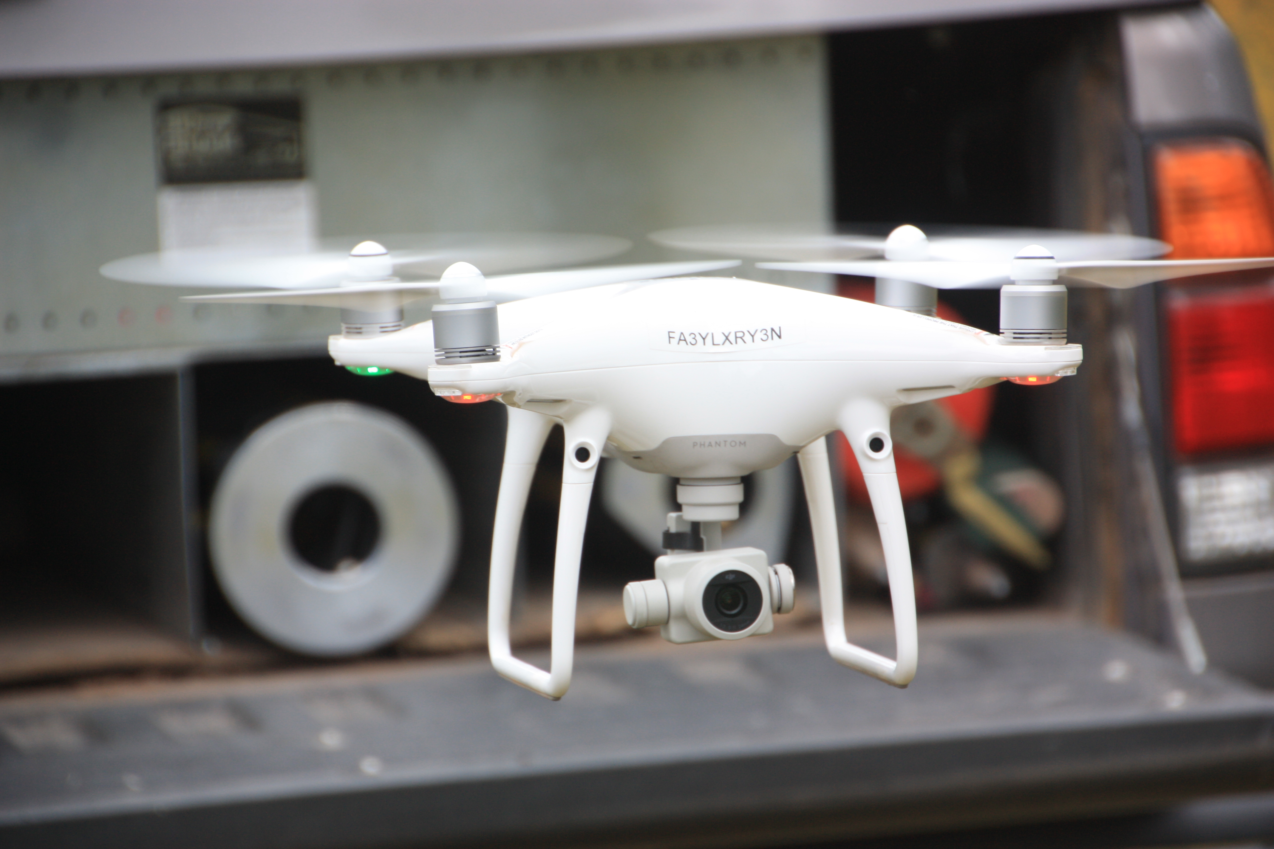
UAVs, aka “drones” are like the Swiss Army knives of data capture. Along with capturing data for standard mapping deliverables such as ortho-photography, topographic maps, surface models and 3D data products, they are also the perfect tool for monitoring, inventory and visualization applications. Get creative. There are many alternative applications for drones outfitted with high-resolution data capture technology and mapping tools like the drone we use at Arizona Surveying. With the low cost of drone data acquisition, you’re only limited by your imagination.
Construction Monitoring
With all the chaos associated with an active construction site, it can be a challenge monitoring progress and changes. Acquire aerial photos with periodic drone flights, which take just minutes, and change all that. Now a construction company, project manager or site superintendent has access to real-time and date-stamped visual data of what their site looks like on any given day. Progress can be monitored and a timeline established that creates a legal and historical record. You’ll know if a pile of dirt moved or if a piece of heavy equipment was on site on a scheduled flight day.
The key concept is “change detection.” Document the pre-construction site condition by scheduling a flight and photo. Finish the job with post-construction as-built aerial photos. Periodic aerial photos should be standard procedure for any substantial construction project. Now you don’t have to rely on memory to see the details that would otherwise be missed. You also have a tool and data that demonstrate and verify construction progress to the all-important project owner. Do this all remotely and share via email.
Asset Inventory
If you can see things it’s easy to count and inventory them and there’s no easier or accurate way to see something than from a low-altitude aerial drone photo. Whether it’s trees in a forest or cars in a parking lot, an overhead view makes your inventory project a breeze. Create GIS layers from photo inventories of specific data items like utilities. Now you have a tool that can economically and quickly collect data that previously would have been collected by foot on the ground. Collection is now safer and more complete.
Visualization Surveys
Imagine you’re bidding on a construction project that’s located 200 miles from your office. You really want to view the current site conditions to help develop a more accurate bid. But it’s not practical to spend all day driving to the site. Google Maps is no help because their images are low-resolution and over 5 years old.
With a UAV/drone visualization survey, now you have eyes on the ground where and when you need them most. Even remote due-diligence is quick, easy and cost-effective. Get an advantage over your competitors and be more confident in your bids.
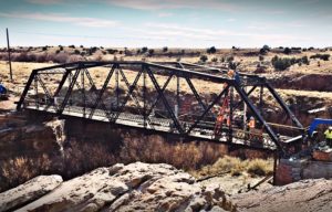
Use a drone visualization survey for inspection of assets like bridges, roads and buildings. Get up close and personal with a drone photo instead of trying to view critical details through the lens of a ground-based camera or binoculars.
Be Creative
The bottom line is that UAV/drone data capture is safe, easy, cost-effective and can be deployed quickly. How will you use it to save time and money and protect your vital business interests?

