
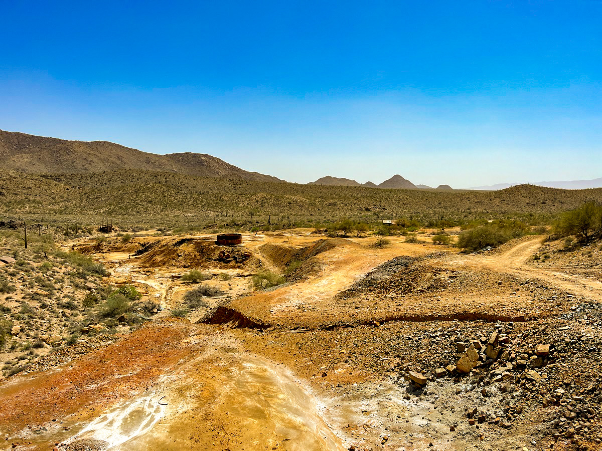
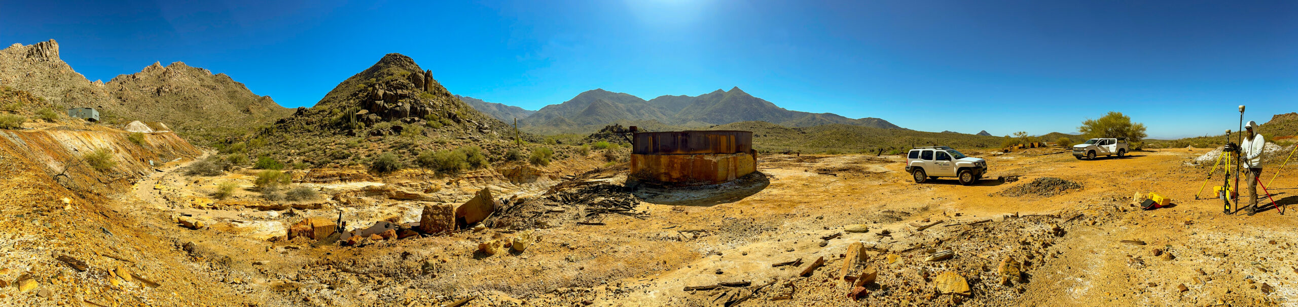
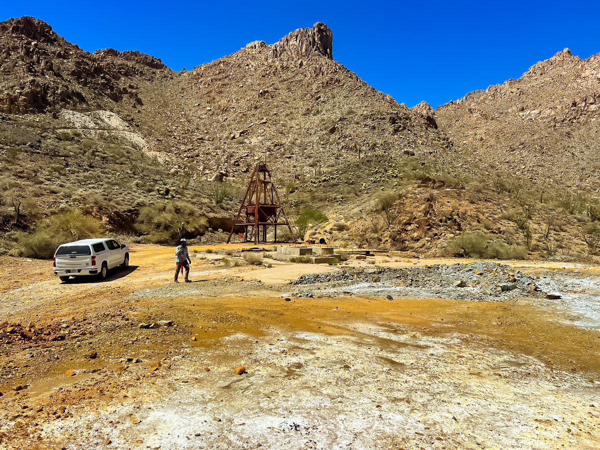
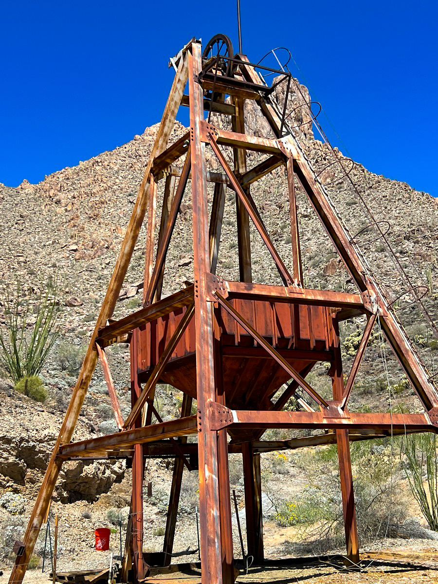
Antler mine has a long history in Arizona, dating back to 1879. Arizona Surveying was tasked with completing an aerial topography of the land next to Antler Mine for clean up in the Wabayuma Peak Wilderness Area.
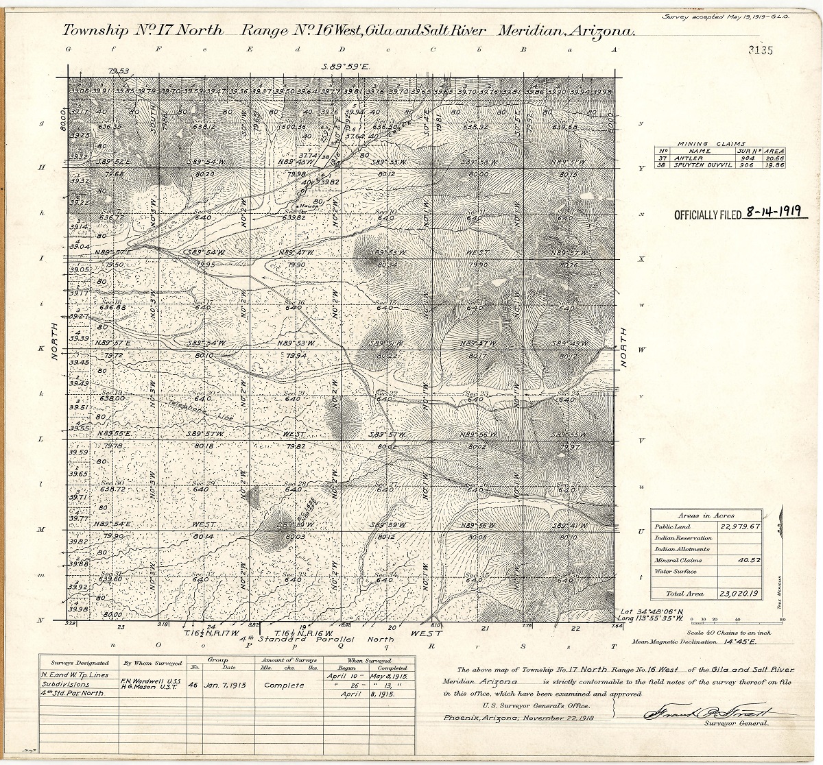
The Vendetta mine is also known as the Antler mine where Antlerite was discovered. About twenty miles southeast of Yucca, on the Atlantic and Pacific Railroad. The original Antler claim was located in 1879 on oxidized copper ore containing from 5 to 12 percent Cu (Romslo, 1948). This claim, patented in 1894 (mineral survey no. 903; Stringham, 1946), lies within the Antler claims and contains the Antler mine. Eight unpatented mining claims adjoin the Antler patent.
The Antler massive sulfide deposit is roughly tabular. It strikes N. 20° to 30° E. along its 2,000-ft strike length and dips about 70° NW. Folding deformed the body into “ore shoots” that rake N. 50° at the north end of the deposit and rake southward at the south end; this relation indicates a late overall arching of the entire deposit. The deposit extends to at least 650 ft in depth, but its total depth is not known and it continues along strike at least 300 ft into the study area.
Production was some 78,251 tons of Cu-Zn sulfide ore.
Production statistics: 1946 (period = 1944-1946): 6,426 tons of ore; 1947: 3,200 tons of ore; 1953 (period = 1949-1953): 5,500 tons of ore.
“Antler Mine (Spuyten Duyvel Mine), Pine Peak, Hualapai … – Mindat.org.” Mindat.org, https://www.mindat.org/loc-3360.html.