
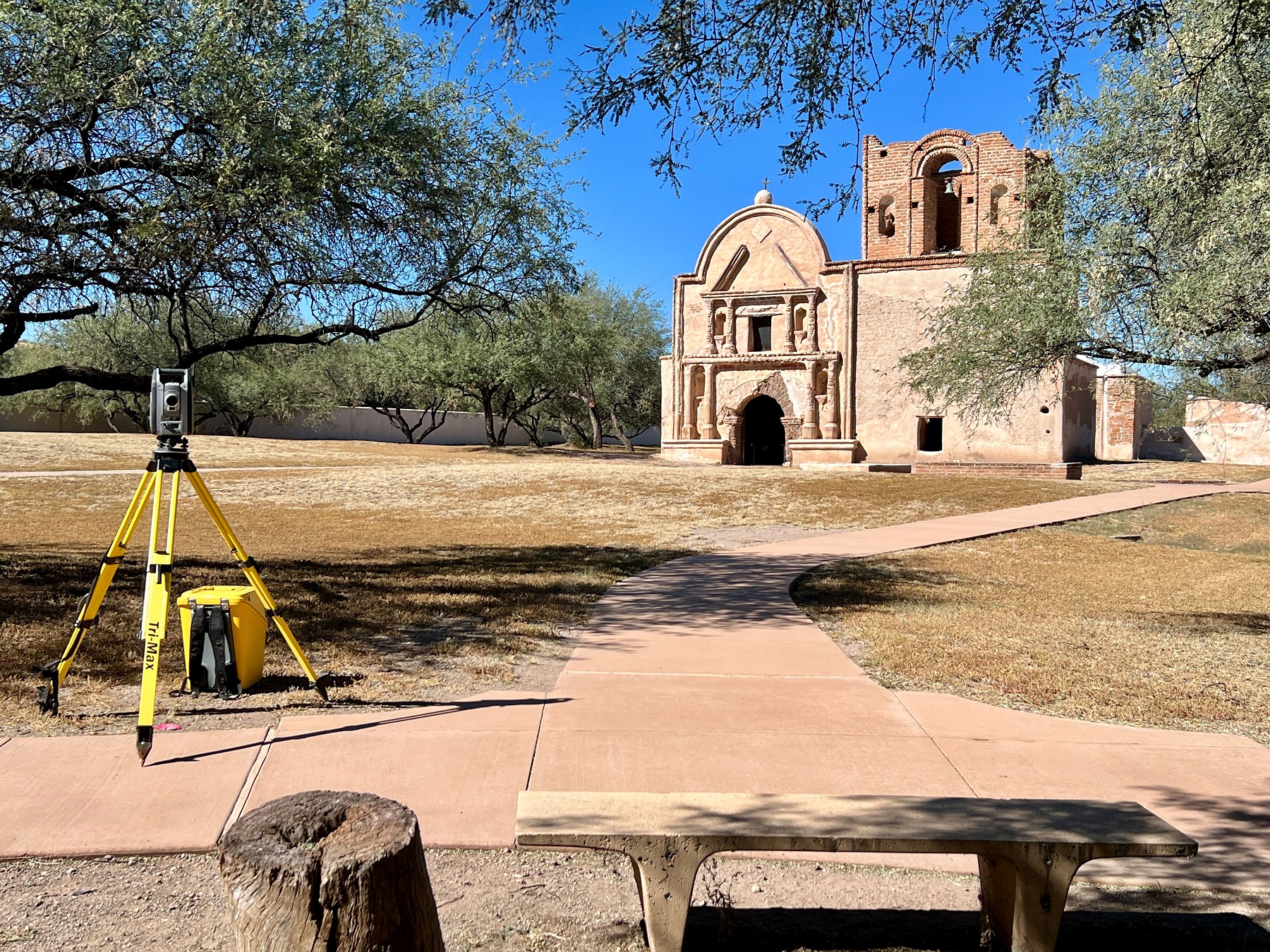
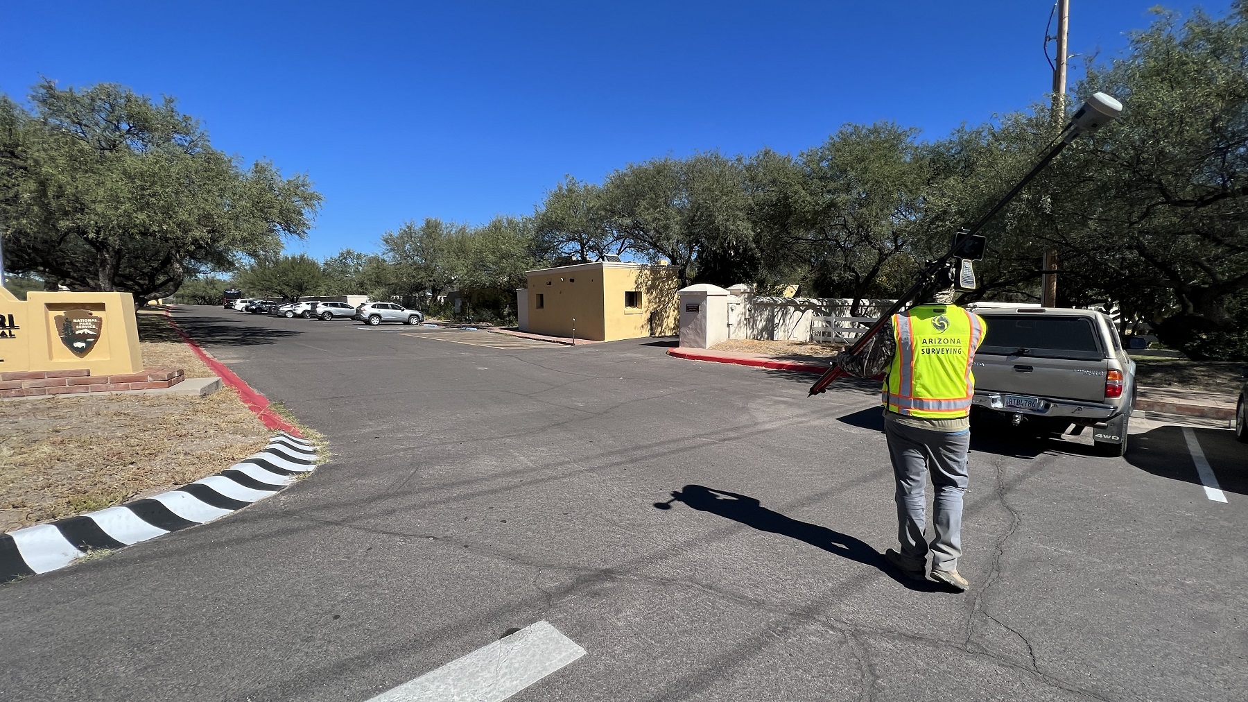
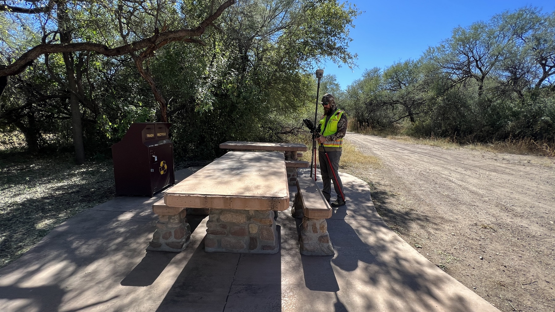
Tumacácori sits at a cultural crossroads in the Santa Cruz River Valley 47 miles south of Tucson AZ. Arizona Surveying was proud to work with the National Parks Service and provide topography mapping for park improvements to the utilities on site. Upkeeping our National Parks for future enjoyment is something we here take great pride in.
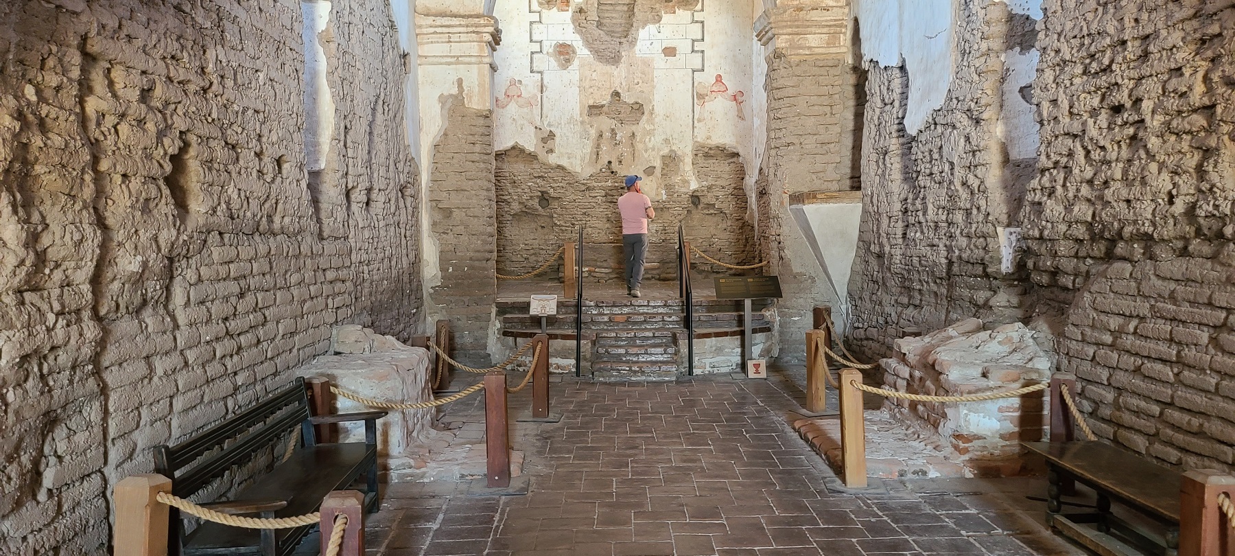
The first Spanish Colonial Jesuit missions in the locale were established in 1691, Mission San Cayetano de Tumacácori (at Tumacácori) and Mission Los Santos Ángeles de Guevavi, are the two oldest missions in southern Arizona. The Franciscan church of Mission San José de Tumacácori, across the river from and replacing Mission San Cayetano de Tumacácori, was built in the 1750s. The third mission was established in 1756, Mission San Cayetano de Calabazas.
The Tumacácori missions complex was originally protected as Tumacácori National Monument, in 1908 by President Theodore Roosevelt. It was listed on the National Register of Historic Places on October 15, 1966. In 1990 the national monument was re-designated a National Historical Park. The Guevavi and Calabazas mission units were added to the Tumacácori missions complex unit, within the new Tumacácori National Historical Park.