
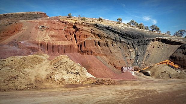
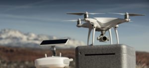
Arizona Surveying put its DJI Phantom 4 Pro aerial drone and the Aerotas Mapping System to good use recently. We secured a contract to provide an aerial photogrammetric map of the Sheep Hill Cinder Pit in Flagstaff for The County of Coconino. Our objective was to fly the pit and obtain data for topographic contouring and a 3D Point Cloud that could be used for volumetric calculations.
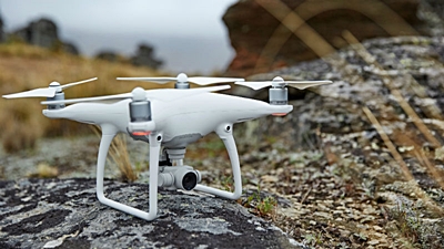
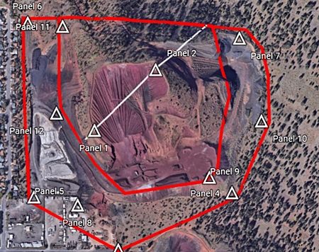
The flight areas were programmed by our survey tech Bretton Luckow and flown flawlessly by the DJI Phantom 4 Pro aerial drone. The pit extraction areas consist of soft/unstable cinder and therefore are unsafe to walk or work around on foot. The survey crew was able to easily place 1’x1′ survey control targets in safe locations on the perimeter and other stable areas within the site to provide vertical and horizontal control. What would have taken days to survey only took hours and no crew members were exposed to unsafe conditions.
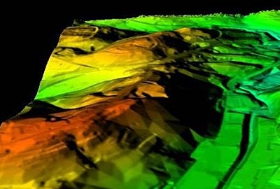
The surface model, contouring and 3D point cloud turned out to be invaluable tools for the County pit managers who used the data for volume calculations and future planning of pit operations. We also learned that the combination of our DJI Phantom 4 Pro aerial drone and the Aerotas Mapping System is a perfect solution for pit and mining operations looking for a safe, powerful and cost-effective answer for their mapping and volume calculation needs.