Skip to content
CONTACT US TODAY »
ARIZONA LAND SURVEYOR
  • Services
    • Aerial Mapping Services
    • Boundary Survey
    • Topographic Mapping
    • Construction Staking
    • Land Development
    • Laser Scanning
    • Civil Engineering
  • Aerial Mapping Services
    • Aerial Topographic Mapping
    • Orthophotography
    • Surface Modeling
  • Our People & Story
  • Portfolio
  • Blog
  • Contact
  • Employment
Menu Close
  • Services
    • Aerial Mapping Services
    • Boundary Survey
    • Topographic Mapping
    • Construction Staking
    • Land Development
    • Laser Scanning
    • Civil Engineering
  • Aerial Mapping Services
    • Aerial Topographic Mapping
    • Orthophotography
    • Surface Modeling
  • Our People & Story
  • Portfolio
  • Blog
  • Contact
  • Employment

Yearly Archives: 2017

  1. Home>
  2. 2017
Drone Data Capture
Drone Data Capture
Aerial Drone Mapping / Construction Staking

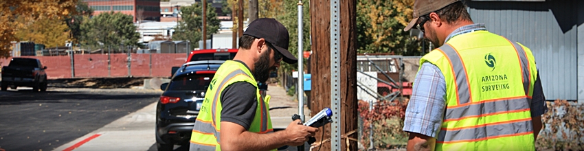
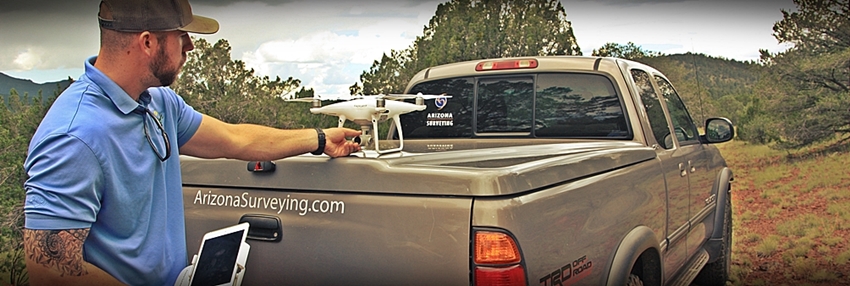
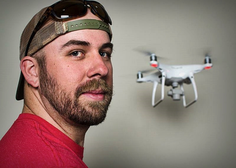
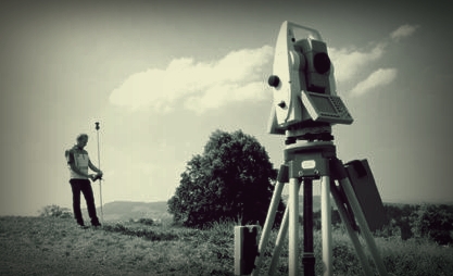
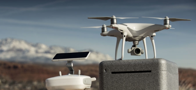
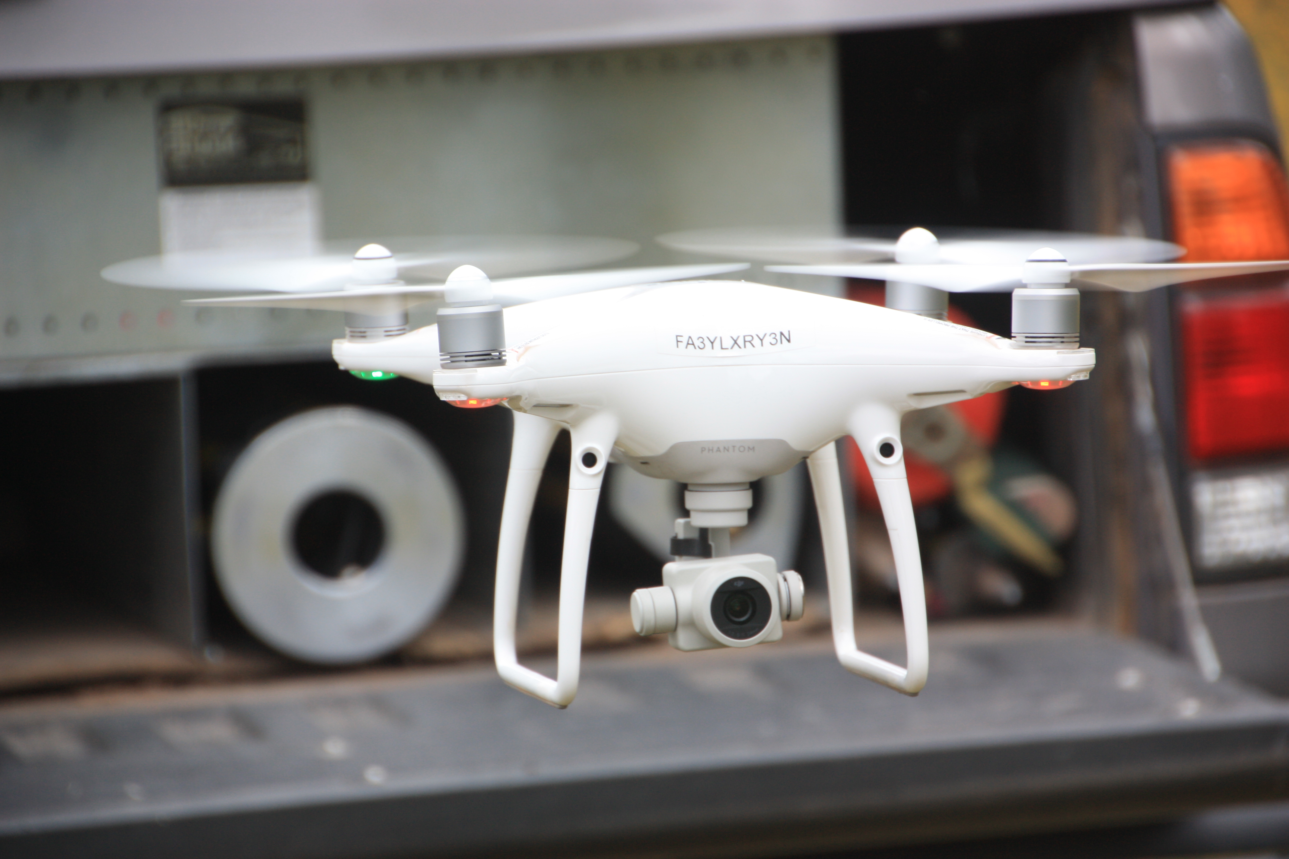
UAVs/Drones—The Swiss Army Knives of Data Capture

UAVs, aka "drones" are like the Swiss Army knives of data capture. Along with capturing data for standard mapping deliverables such as ortho-photography, topographic maps, surface models and 3D data…

0 Comments
October 25, 2017
Flagstaff Street Improvements Construction Surveying
Construction Staking

Brannen, Elden, Colorado St. Improvements

One of the challenges of The City of Flagstaff's sewage collection system is the maintenance and replacement of  aging pipe—some more than 70 years old. Old sewage pipes can create…

0 Comments
October 16, 2017
NAU Honors Student Housing Construction
Construction Staking / NAU

NAU Honors Student Housing Project

Arizona Surveying has been involved since the beginning of the new NAU Honors Student Housing project at the corner of University Ave. and S. Knoles Dr. on the NAU campus.…

0 Comments
October 3, 2017
Arizona Surveying Aerial Drone
Aerial Drone Mapping

Cinder Pit Aerial Drone Mapping and Surface Modeling

From the top of the cinder hill near Williams, Arizona, we could see to the rim of the Grand Canyon. The aerial drone survey we were conducting included the cinder…

0 Comments
September 18, 2017
Bretton Luckow, Flagstaff FAA Drone Pilot
Bretton Luckow / Our People

Meet Bretton Luckow–Crew Chief

Following in the footsteps of his paternal grandfather Tom and his father John, Bretton Luckow is a third generation Land Surveyor from the state of Arizona. He fills a multi-dimensional…

0 Comments
September 5, 2017
Licensed Land Surveyor
Professional

Surveying Professionals: Know Your Value

One of the most challenging aspects of being a professional service provider is placing the proper value on your time. The reason you went into business was because you believed…

0 Comments
August 31, 2017
Aerial Drone
Aerial Drone
Aerial Drone Mapping

Aerial Drones and Land Surveying

By now most of us have seen or at least heard of UAV's, aka: drones--those mini aerial vehicles (unmanned) that follow extreme skiers down snow-covered chutes nobody in their right…

2 Comments
August 23, 2017
Sheep Hill Cinder Pit Aerial Topographic Survey
Aerial Drone Mapping / Topographic Mapping

Sheep Hill Cinder Pit Aerial Topographic Survey

Arizona Surveying put its DJI Phantom 4 Pro aerial drone and the Aerotas Mapping System to good use recently. We secured a contract to provide an aerial photogrammetric map of…

0 Comments
August 9, 2017
Read more about the article The Lofts Curb & Gutter Staking
Bretton Luckow / Construction Staking / Survey Projects

The Lofts Curb & Gutter Staking

The Lofts, a 232 unit Flagstaff student housing development by UEB Construction of Scottsdale, Arizona (www.ueb.net) is in final construction stages trying to finish up before NAU students arrive next…

0 Comments
July 31, 2017
  • 1
  • 2
  • Go to the next page

Recent Posts

  • Grand Canyon Ribbon Falls Bridge Replacement
  • Pipeline on the Precipice – Grand Canyon in Depth Episode 06
  • Moving Water in the Grand Canyon
  • Grand Canyon Rest House Topographic Surveys
  • COVID-19 Special Notice

Recent Comments

  • Beth Witt on Historic Woodruff-Snowflake Bridge Renovation
  • Daniel Reaney on Land Surveyors: Our Place in History
  • Taylor Hicken on Aerial Drones and Land Surveying
  • Adam Golightly on Aerial Drones and Land Surveying
  • Elene Atokuku on BIA Keams Canyon HAMP Project, Hopi Reservation

Categories

  • Aerial Data Collection
  • Aerial Drone Mapping
  • Aerial Photography
  • Boundary Survey
  • Bretton Luckow
  • Bryan Martin
  • Civil Engineering
  • Construction Staking
  • Control Survey
  • GPS
  • Grand Canyon
  • Hopi Reservation
  • John Luckow
  • John Scott
  • Levi Nash
  • Lidar Laser Scanning
  • NAU
  • Ortho Photography
  • Our People
  • Professional
  • Survey Projects
  • Topographic Mapping
  • UAV / Drone
  • Uncategorized
  • Utah

Archives

  • September 2022
  • August 2021
  • July 2021
  • March 2021
  • August 2020
  • August 2019
  • October 2018
  • August 2018
  • July 2018
  • March 2018
  • October 2017
  • September 2017
  • August 2017
  • July 2017
  • September 2014

Affiliations

Testimonials

“I’ve worked with John and Arizona Surveying for years. What impresses me the most is their passion for the work. They really enjoy what they do and it shows in every phase of my projects. They’re always one step ahead of things which makes me feel like surveying is one less thing to worry about. “

Roger J.

Pages

  • Home
  • Services
  • Aerial Mapping Services
  • Our People & Story
  • Portfolio
  • Blog
  • Contact
  • Employment

Follow Us

Arizona Surveying
© Copyright 2022 Arizona Surveying

Powered by DJE Design

Search this website